AIRB Enterprise · Construction site documentation
A clearer recordof whatCHANGED
Planned aerial capture for construction teams that need organised visual context for project discussions, milestone updates and professional handover.
- Feasibility reviewed first
- Views agreed in scope
- Human-reviewed files
- Secure project handover
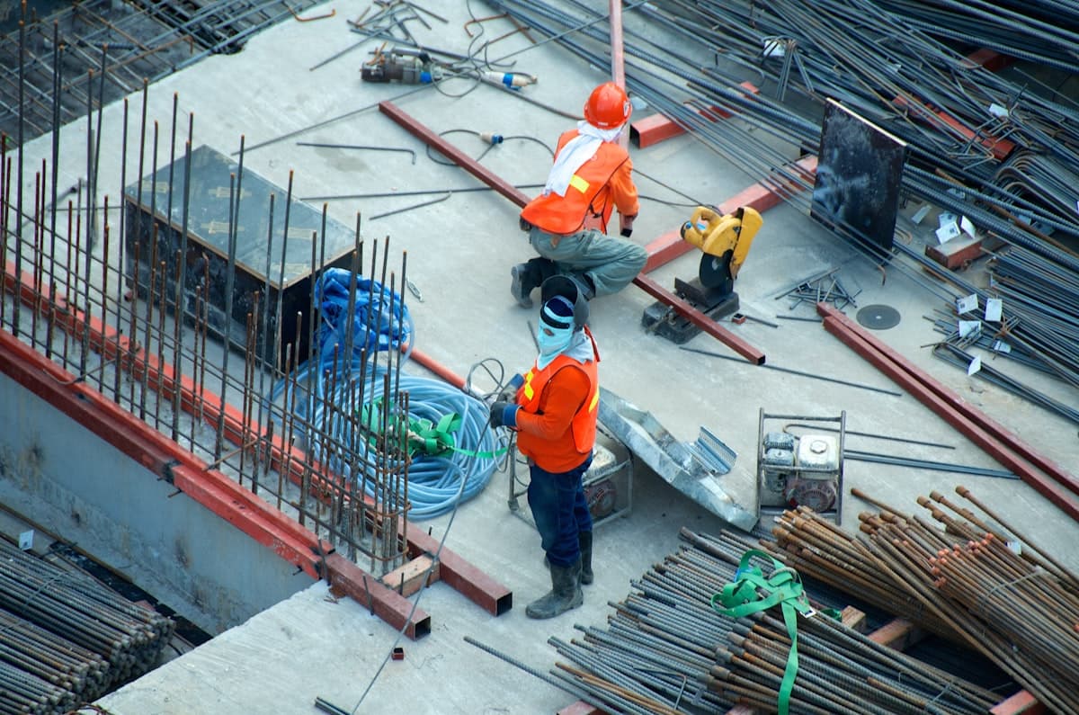
Aerial documentation for an agreed construction brief
Viewpoints, outputs and timing are agreed after site feasibility and scope review.
Who it is for
For the teams responsible for progress
- Main contractors & site managers
- Developers & asset owners
- Project & programme managers
- Quantity surveyors & estimators
- Architects & design teams
- Qualified inspection partners
Practical uses
Useful visual context, with clear professional boundaries
AIRB starts with the business question, then agrees the smallest useful capture scope. The service is visual documentation; your qualified team retains professional interpretation and sign-off.
Programme visibility
Provide aerial context for progress discussions without presenting the imagery as a measured survey or certified record.
Stakeholder updates
Create selected stills and clips for client, funder or internal conversations, with formats agreed before capture.
Milestone records
Document a pre-start state, project milestone or handover point from agreed viewpoints on an agreed date.
Professional partner capture
Capture difficult-to-access views while your surveyor, engineer or specialist owns diagnosis, advice and conclusions.
Delivery
An example handover, not a fixed package
The final proposal states exactly what AIRB will provide. A suitable construction brief may include the following, but nothing is pre-set or assumed.
- An agreed list of aerial viewpoints
- Selected high-resolution image files
- Selected video clips where requested
- A clear project and date-based file structure
- A secure download shared with the named contact
- A short delivery note describing what was captured
NOTE
Specialist outputs such as mapping, models, measurements, annotations or written reports are considered only when explicitly scoped, method-checked and supported by the right qualified professional.
Commercial scope
What affects scope and price
AIRB does not publish a generic programme promise. Scope and price depend on the site, the required views and the operating conditions.
Site & airspace
Location, footprint, nearby restrictions and the safe operating area.
Access & workforce
Induction, launch area, active trades, public access and site coordination.
Required outcome
Who will use the media, which decisions it supports and what it must not imply.
Views & formats
The number of agreed viewpoints, stills, clips, orientation and file structure.
Timing
The requested window, weather flexibility and any project meeting or milestone date.
Further visits
A small revisit pilot can be proposed after the first capture method is accepted.
Responsibilities
What AIRB handles — and what your team confirms
The proposal records ownership before the job is scheduled, so flight operations and professional interpretation are never blurred together.
AIRB
Flight & file handover
- Review flight feasibility, weather, airspace and the proposed operating area
- Confirm the agreed capture scope before scheduling
- Complete the approved flight where conditions allow
- Human-check and securely hand over the agreed project files
CLIENT / PROFESSIONAL TEAM
Access & interpretation
- Confirm the site contact, access route and responsible person
- Provide relevant induction, hazards and workforce information
- Confirm landowner or site-manager permission where required
- Keep diagnosis, certification and professional conclusions with qualified roles
Workflow
From brief to secure handover
- 01
Share the brief
Tell AIRB about the site, the project question and who needs the media.
- 02
Review feasibility
Airspace, access, people, permissions, timing and safety constraints are reviewed.
- 03
Agree the scope
Views, outputs, responsibilities, price and timing are set out before commitment.
- 04
Capture & hand over
The approved work is completed where conditions allow, checked by a person and shared securely.
Boundaries
Planned before take-off. Bounded after delivery.
NOTE
AIRB provides visual site documentation and capture support. It is not a measured survey and not a substitute for a qualified structural survey, engineering inspection, professional diagnosis or regulated safety sign-off.
NOTE
Every AIRB Enterprise flight is subject to weather, airspace, site access, landowner permissions and a safety review before it goes ahead. We may decline or reschedule work where safe and legal operation is not possible.
FAQ
Questions professional teams ask first
Is this a measured survey or inspection?
No. AIRB provides visual documentation and capture support. Survey measurements, structural conclusions, defect diagnosis, compliance decisions and certification remain with the appropriately qualified professional.
Can AIRB return to the same site?
A small revisit pilot can be discussed after the first capture scope is proven. AIRB will not promise a programme cadence until the viewpoint method, access, capacity and commercial scope have been agreed.
What will our team receive?
The proposal lists the exact viewpoints, stills, clips, file structure and handover method. There is no pre-set report or record pack hidden behind the enquiry.
When is a date confirmed?
Only after feasibility, access, safety, permissions, weather options, scope and capacity have been reviewed. A requested date is not a confirmed flight date.
How is the work priced?
AIRB prices the agreed site scope after reviewing location, access, operating conditions, required views and outputs. The enquiry is for a proposal, not an instant booking.
Give the next site conversation a clearer view.
Start the conversation
Tell us about the site and we'll confirm feasibility, scope and the right approach. This is an enquiry — not an instant booking.
hello@tomairbdrones.co.uk